REVIEW · TRONDHEIM
Discovery hike along the Trondheimsfjord
Book on GetYourGuide →Operated by Gaël & Maëlle Travel · Bookable on GetYourGuide
Trondheimsfjord on foot feels like local life. This guided walk along Ladestien mixes fjord views with WWII-era ruins and story-filled photo stops that make the coast feel personal. You’ll spend about 2.5 hours outside, learning what to look for in the water, on the shore, and on the peninsula.
Two things I especially like: the hike is relaxing and pleasant even though it’s marked medium, and the guide turns each stop into a clear, useful lesson you can remember without feeling like you’re in class. The pace also leaves room for photos, not just marching.
One consideration: it’s a one-way hike, so you’ll start at Korsvika and finish in Rotvoll, with public buses needed to get back to the city center. If you hate logistics, plan the bus ride before you go, and wear shoes that work on uneven coastal ground.
In This Review
- Key highlights to look forward to
- Fjord walking with WWII stops in Lade
- Price and what you’re really paying for
- Route basics: one-way start at Korsvika, finish at Rotvoll
- Stop-by-stop on Ladestien: Korsvika to the WWII bunker
- Korsvika: first photo stop and fjord orientation
- Østmarka German bunker: WWII remains with context
- Ladekaia: the working-coast feeling
- Sponhuset and Devlebukta: coastal details you’ll notice after
- Sponhuset: learning to see the shoreline
- Devlebukta: final viewpoint mood before the finish
- Why the guide delivery matters (Gaël & Maëlle Travel)
- Weather, footwear, and how to avoid getting annoyed
- Getting the most out of the 2.5 hours
- Should you book the Discovery hike along the Trondheimsfjord?
- FAQ
- How long is the hike?
- What distance will I walk?
- How difficult is the hike?
- Is the hike a loop?
- When does the tour run?
- Where do I meet the guide?
- What language is the tour guide?
- What is included in the price?
- What should I bring?
- How do I get back to the city center after the hike?
Key highlights to look forward to
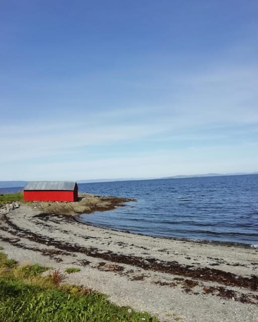
- WWII photo stops: You’ll visit WWII remnants on the Ladestien route, not just enjoy views from a distance.
- 6 km, medium effort: About 2.5 hours with frequent explanation stops, so you’re not hiking nonstop.
- Fjord + flora/fauna focus: You’ll learn what’s happening in the environment as you walk.
- Guide-led storytelling: Expect French or English commentary with history and everyday context.
- Photo breaks built in: Several designated viewpoints mean better pictures and calmer timing.
Fjord walking with WWII stops in Lade
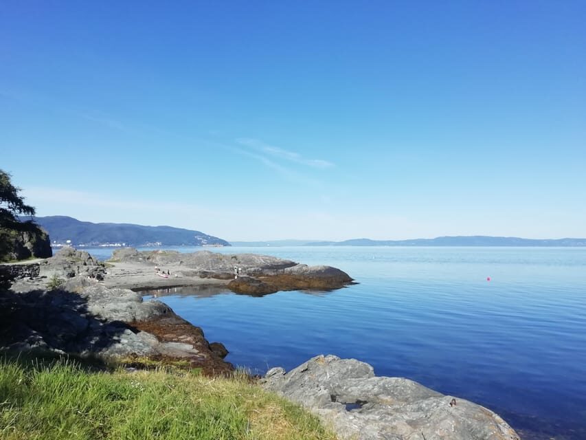
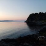
This is the kind of walk that makes Trondheim feel real. Instead of sticking to the city center, you move along the Trondheimsfjord edge on the Lade peninsula, where everyday life, nature, and older military history share the same shoreline.
You’ll also get a better sense of why Trondheim locals talk about the fjord the way they do. It’s not just a backdrop. The water shapes what you see along the coast: the light, the shoreline rhythm, and even where plants and animals tend to show up. The route helps you notice details you’d normally skip if you were doing it alone.
And the WWII pieces matter here. This isn’t a museum-style stop where everything feels distant. You’re looking at remains from that era while standing where the story happened, with the fjord stretching out in front of you. That contrast is part of what makes the experience memorable.
You can also read our reviews of more tours and experiences in Trondheim.
Price and what you’re really paying for
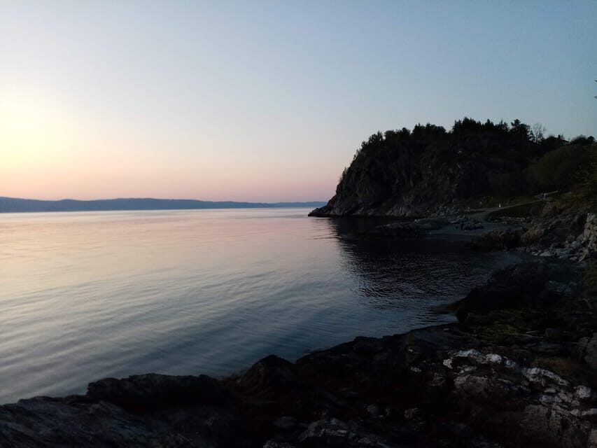
At $72 per person, this isn’t the cheapest activity in town, but it’s also not overpriced for what you get. You’re paying for a live local guide plus an organized hiking format over 6 km with multiple explanation points. For this kind of coastal route, that guidance is the difference between taking photos and actually understanding what you’re seeing.
Also, the timing is efficient. With a 2.5-hour duration, you’re buying a satisfying half-day window without needing a full day ticketed excursion. Since food and drinks aren’t included, you’re free to pair the hike with your own plan—grab a café stop after, or just enjoy your favorite take-away before continuing the rest of your Trondheim day.
If you’re the type who likes history but wants it delivered while walking—not in a lecture—this price starts to feel fair.
Route basics: one-way start at Korsvika, finish at Rotvoll
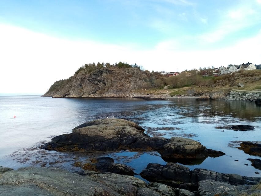
The hike is not a loop. You start at Korsvika and end at Rotvoll, so you’ll use public transport to complete your trip.
Here’s the practical setup:
- Meet at the Korsvika car park. The guide will hold a sign for Gaël & Maëlle Travel.
- From the city center, take bus 2 toward Strindheim and get off at Ingemann Torps vei. Buses run about every 10 minutes, and the meeting point is a short walk from the stop.
- At the end, you’ll finish at Rotvoll. Take bus 20 in the direction of Romolslia to return to the city center. That stop is around 10 minutes from where the hike ends, with buses every 15 to 30 minutes.
A quick tip: download the ATB app. It makes Trondheim bus timing feel much less stressful, especially with Norway’s changeable weather.
One note: the tour isn’t suitable for wheelchair users. If mobility is a concern, you should treat the uneven outdoor terrain as a real factor, especially near coastal spots.
Stop-by-stop on Ladestien: Korsvika to the WWII bunker
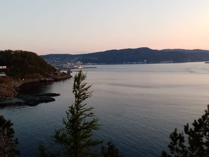
You don’t just start walking and hope for the best. This route is structured around photo stops with explanations, so you know when to slow down and why.
Korsvika: first photo stop and fjord orientation
The hike begins at Korsvika. Your first stop is a natural orientation point—good for settling your bearings and getting your eyes on the fjord. This early pause matters because it sets the theme for the rest of the walk: you’re learning how the coastline and the peninsula connect.
Even if you consider yourself a casual photographer, these first minutes help you shoot smarter. You’ll get told what angle or viewpoint to aim for, rather than just snapping from the path.
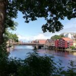
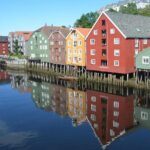
Østmarka German bunker: WWII remains with context
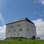
Next you’ll reach Østmarka German bunker, another photo stop. This is where the walk becomes more than scenery. The guide connects the bunker remains to Trondheim’s wartime story and helps you understand what you’re actually looking at.
A good part here: you’re not simply seeing concrete shapes and guessing. You’ll get a framework for why this area mattered, while still enjoying the coastal setting around it.
Potential drawback? Because WWII remnants can be visually intense, you’ll want comfortable focus. If you’re tired, the story-heavy moments might feel like extra mental load. But if you enjoy learning, this stop is usually a favorite.
Ladekaia: the working-coast feeling
Then comes Ladekaia, yet another photo stop. This part helps shift you from wartime to more everyday shoreline life. The guide’s explanations keep you from treating the coast like scenery only—you start seeing it like a place with use, movement, and connection to the city.
If you’ve ever wondered why Trondheim sits the way it does, this stop helps answer it in plain terms.
Sponhuset and Devlebukta: coastal details you’ll notice after
By the time you reach the later stops, you’re walking with better “eyes.” The guide’s earlier explanations make the environment easier to read.
Sponhuset: learning to see the shoreline
At Sponhuset, you’ll have another explanation-led pause. This is the kind of stop that feels small on the map but big for understanding the peninsula. You might find yourself noticing shore shapes, plant presence, and how the coast changes as you walk—because you’ve been primed to look.
If you prefer a tour where you keep getting little payoffs, this stop fits that style. It’s not just one big view. It’s a sequence of learn-as-you-go moments.
Devlebukta: final viewpoint mood before the finish
Next is Devlebukta, another photo stop that serves as a natural closing chapter. This is where the fjord views typically feel most “open,” and the atmosphere can make the whole hike feel lighter—even though you covered WWII remains earlier.
After a couple of story stops, ending with a view is smart. It gives your brain a place to rest. You’ll likely leave with more than pictures: you’ll remember how the coast looks when the terrain opens up.
The walk finishes at Rotvoll, and from there you’ll use bus 20 back toward the city center. Since the ending is different from the start, plan a little buffer so you’re not rushing your transport.
Why the guide delivery matters (Gaël & Maëlle Travel)
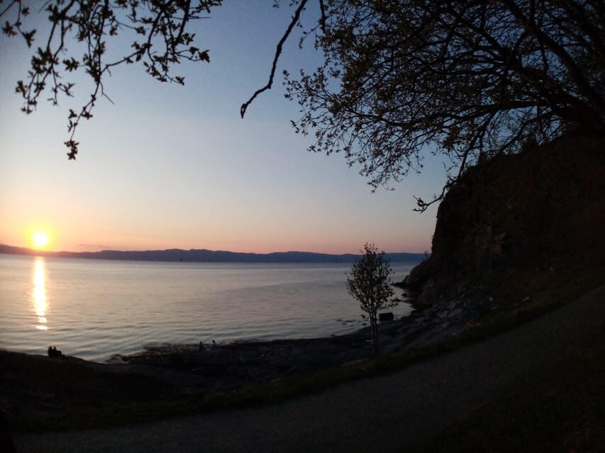
I really like guided walks where the guide doesn’t just recite facts. This one leans into storytelling with a friendly tone, and that makes learning easier while you’re moving.
In particular, the Gaël & Maëlle Travel guide is described as passionate, attentive, and full of energy—someone who blends history with practical context about life around the area. You’ll hear not only about historical events, but also about how the region works and what shapes local life.
One extra detail that stands out: the tour can still run even when there’s only a single participant. That means you’re less likely to end up stuck waiting for a crowd and more likely to get a real guided experience.
Languages are French and English, so you can choose the comfort zone that fits your day. Either way, you should expect the explanations to be delivered in a way that helps you connect what you’re seeing to why it matters.
Weather, footwear, and how to avoid getting annoyed
Norwegian weather can shift quickly, and this hike is outdoors. You’ll want to dress for real conditions, not optimistic forecasts. Comfortable shoes are non-negotiable on a coastal walk; paths can be uneven, and wind off the fjord can change how cold you feel even on mild days.
Aim for layers. A light shell helps when the sky does its usual mid-walk mood change. And if you run late, the operator asks that you inform them as soon as possible.
Pace-wise, “medium” here doesn’t mean you’re racing. It’s more about time outdoors plus coastal terrain. Since there are multiple photo stops, the route naturally breaks into shorter walking segments.
If you’re prone to slow down for photos anyway, this format is ideal. If you hate stopping, you may find yourself pausing more than you expected—but those pauses are where the value lives.
Getting the most out of the 2.5 hours
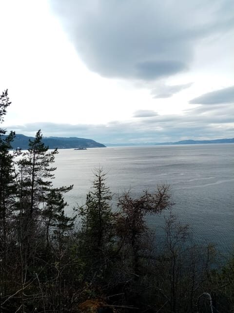
This hike works best when you treat it like a half-day plan, not a quick morning task. Since food and drinks aren’t included, you’ll want to decide ahead of time what you’ll do after.
Two smart options:
- Plan a café or meal in Trondheim after you return via bus 20.
- If you like quiet, bring your own snack so you can take a small break before heading back.
Timing also helps. Because it’s one-way, don’t plan another “must-do” right after. Give yourself a small buffer so getting from Rotvoll back to the city center doesn’t turn into a rushed ending.
Who this suits: people who like nature walks but also want a thread of local meaning. You’ll enjoy it if you like learning about the area while moving, and if WWII history is a real interest rather than a passing curiosity.
Who should skip: wheelchair users, and anyone who strongly dislikes one-way routes.
Should you book the Discovery hike along the Trondheimsfjord?
Book it if you want fjord views plus practical local context, delivered by a guide who makes the stops feel worth the time. The combination of a manageable 6 km distance, medium difficulty, and story-driven photo stops is great value for $72, especially if you’re the type who likes understanding what you’re looking at.
Skip it if you need a loop route, hate bus-based logistics, or prefer hikes without historical or interpretive stops. Also, if you’re very sensitive to uneven outdoor terrain, think twice.
If your ideal day in Trondheim includes fresh air, fjord light, and WWII remains explained in a human way, this one checks the boxes.
FAQ
How long is the hike?
The tour lasts about 2.5 hours.
What distance will I walk?
It’s about 6 km.
How difficult is the hike?
The difficulty is listed as medium.
Is the hike a loop?
No. It’s a one-way hike with different start and end points.
When does the tour run?
It is available from March to October.
Where do I meet the guide?
Meet at the Korsvika car park. The guide will have a sign for Gaël & Maëlle Travel.
What language is the tour guide?
The tour guide speaks French and English.
What is included in the price?
The price includes a local guide and the hiking tour.
What should I bring?
Bring comfortable shoes and comfortable clothes.
How do I get back to the city center after the hike?
From Rotvoll, take bus 20 toward Romolslia. The bus stop is about 10 minutes from the end point, and the ATB app can help with timetables and tickets.